

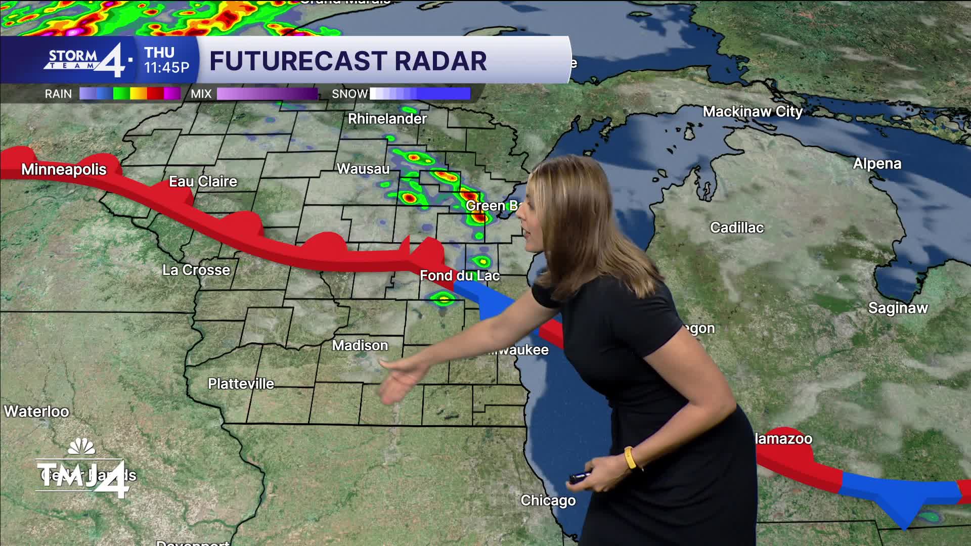


After this morning's strong storms, we now focus to the rest of the evening and overnight. The atmosphere is really OVERWORKED, and only a ton of sun and heating can make it bounce back. There may not be time for this to happen before sunset. We're calling for pop up storms at times, but the main rain potential will be a cluster that forms in NE WI overnight.
This cluster overnight (around midnight) will push it's way south and clip our northern counties. Sheboygan is in the bullseye of this activity, so be on guard. Isolated tornado, large hail, downpours, and most likely, damaging winds are the primary threat. By sunrise, we will have some storms leftover which dissipate mid-morning. Some areas may stay dry that are further west.
Friday's high recovers to 83 with high humidity once more.
The weekend features hit or miss storm chances and will not be a washout. Highs near 80 both days with humidity still in the upper 60s and low 70 (very humid).
Labor day features storm chances once more with highs in the upper 70s.
TONIGHT: Storms after midnight, especially near FDL, Sheboygan, and Ozaukee counties.
Low: 72
Wind: E 5-10
FRIDAY : Early Showers, then hot and humid.
High: 83
Wind: SW/NE 5-10
SATURDAY: Hit or miss storms. Mostly cloudy and muggy.
High: 78
Wind: NE 5-10
SUNDAY: Hit or miss storms. Mostly Sunny and humid.
High: 77
Wind: SE 5-10
MONDAY: Partly cloudy with developing storms. Still muggy.
High: 77
TUESDAY: Partly Cloudy, hotter, humid with a chance of storms.
High: 84
WEDNESDAY: Hot, humid, mostly cloudy with a chance of storms.
High: 85
It’s about time to watch on your time. Stream local news and weather 24/7 by searching for “TMJ4” on your device.
Available for download on Roku, Apple TV, Amazon Fire TV, and more.
