
Tuesday made the second day in a row with a high temperature in the 50s. Snow and ice have continued to melt with mild temperatures and all-day sunshine.
Late tonight clouds will increase as lows drop back into the mid 30s. By Wednesday morning, scattered rain showers will move in across SE WI. Clouds, off and on rain showers, a few wet snowflakes, and areas of fog are all possible Wednesday afternoon and evening. Highs will be in the low to mid 40s.
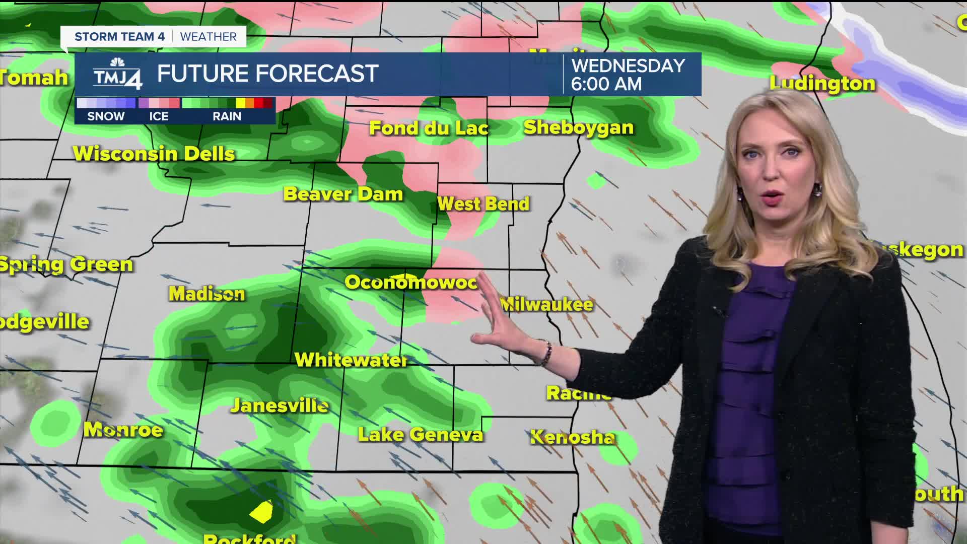
Watch: Clouds and showers Wednesday
Thursday will be mainly cloudy with a few isolated rain or snow showers. Winds will be breezy with highs in the lower 40s.
A strong low-pressure system will pass to our north on Friday. That will result in strong winds locally, with gusts of 40-50 mph. It will also be a mild day with highs back around 50-degrees. A cold front will sweep through late Friday, dropping highs into the 30s for the weekend.
TONIGHT: Increasing Clouds, Shower by MorningLow: 35
Wind: S 5-10 mph
WEDNESDAY: Scattered Rain, a Few Wet Snowflakes
High: 44
Wind: Var 10-15mph
THURSDAY: Iso. Rain/Snow Shower, Mostly Cloudy, Breezy
High: 42
FRIDAY: Mostly Cloudy, Windy, Mild
High: 50
SATURDAY: Partly Cloudy, Breezy Early
High: 33
SUNDAY: Mostly Sunny
High: 35
It’s about time to watch on your time. Stream local news and weather 24/7 by searching for “TMJ4” on your device.
Available for download on Roku, Apple TV, Amazon Fire TV, and more.
